GÁBOR GYÖRGYI
30th JUne, 1st July 2007.
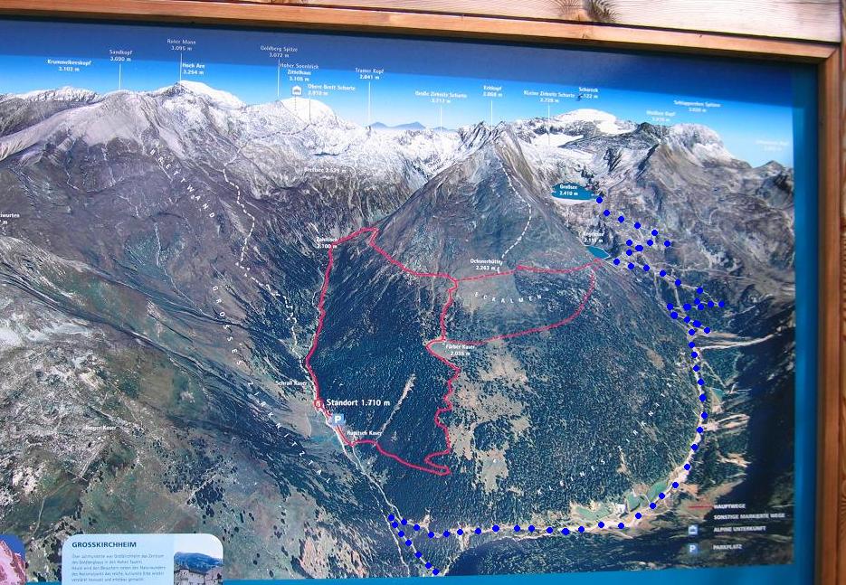
On the hardest climbs of Carinthia / Austria: Weisssee (2365 m - 1417 m), Grosssee (2380 m), GRosser Oscheniksee (2394 m)
|
Linkek


LINKS
2004 : Bicycletour in France / Tour de France
2003 Adriatic by bike to Montenegro


|
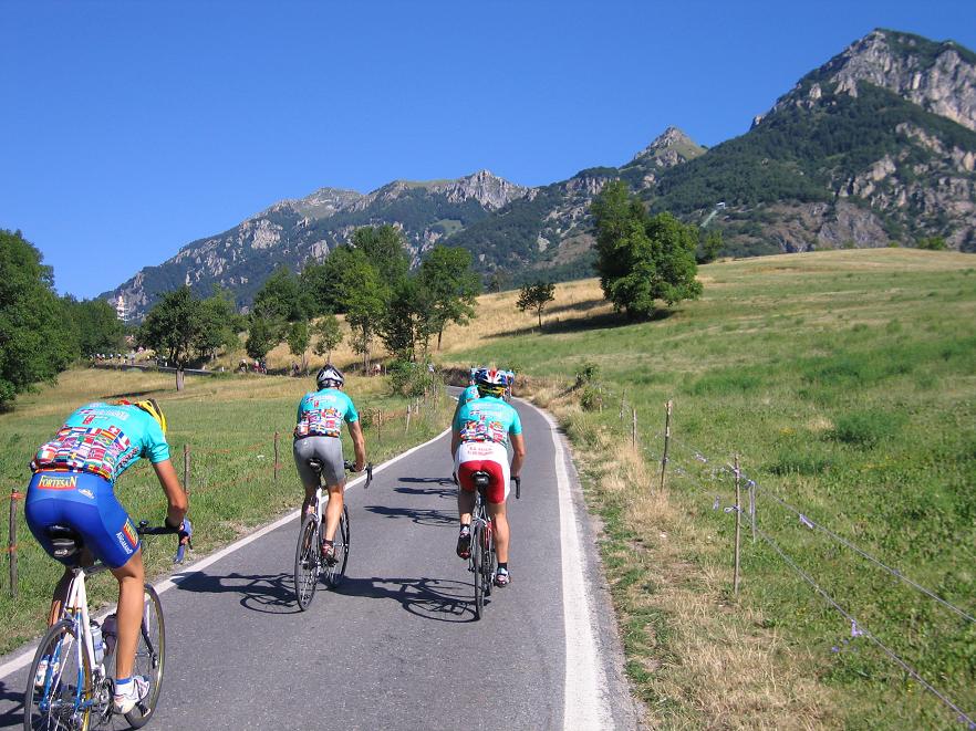
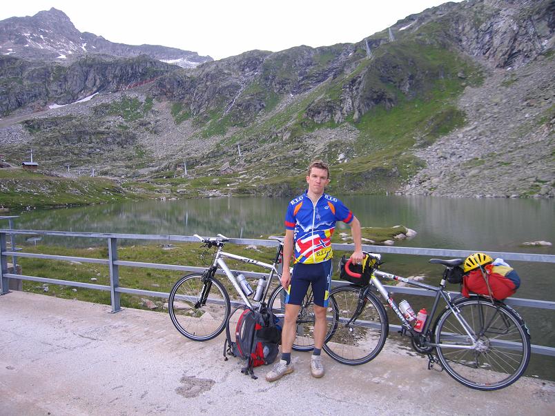
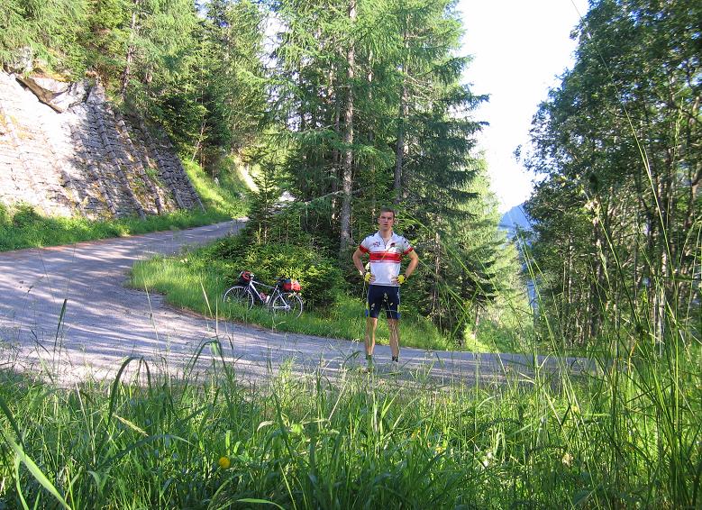
In June 2007 I and a friend of mine spent 2 days in the austrian High tauern National Park with cycling onto challenging climbs. On the 1st day we climbed Weisssee (2365 m), Grosssee (2380 m)(Zirknitztal)(BIG 633) and Gr Oscheniksee (2394 m - BIG 628). At that time Weisssee is the 3rd, Grosssee is the 45th and Gr Osxcheniksee is the 10th hardest climb in Europe by climbbybike.com. (Now the positions are other, but Gr Oscheniksee is the 8th hardest.)
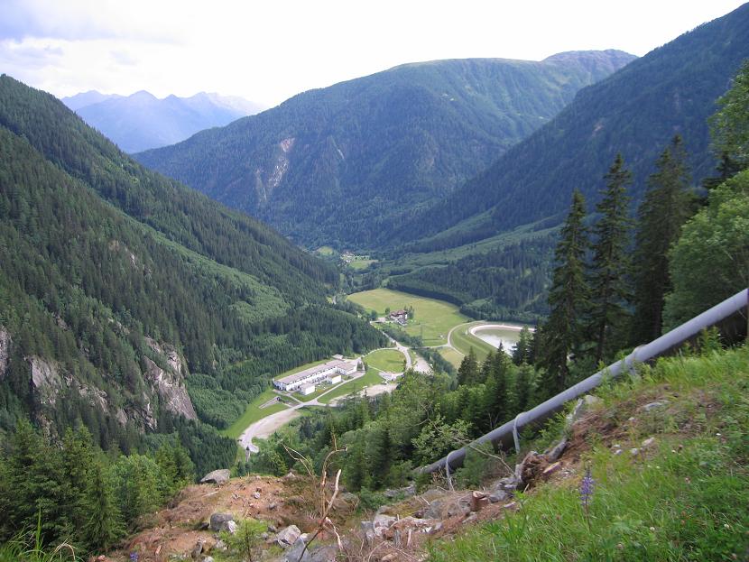
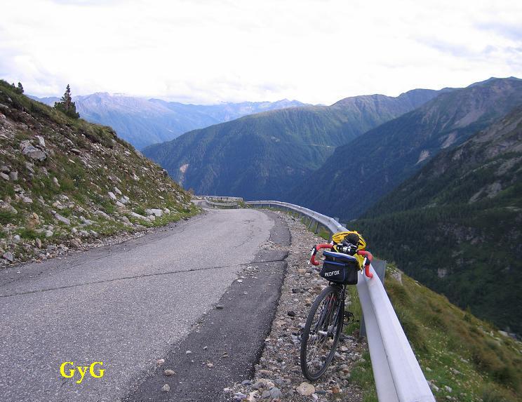
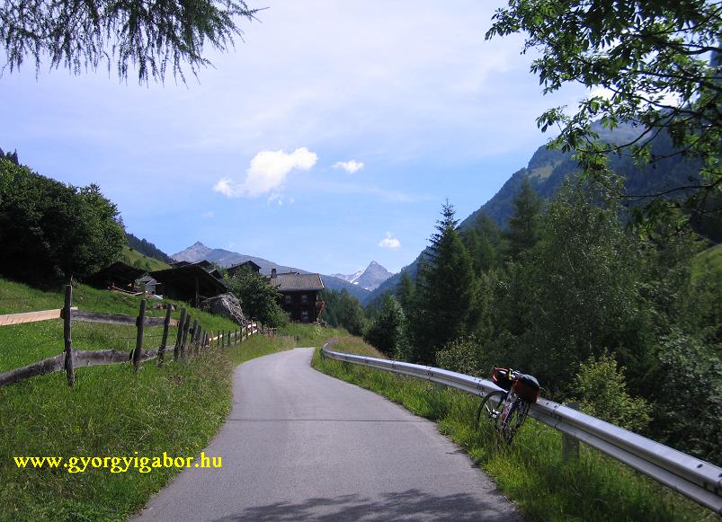
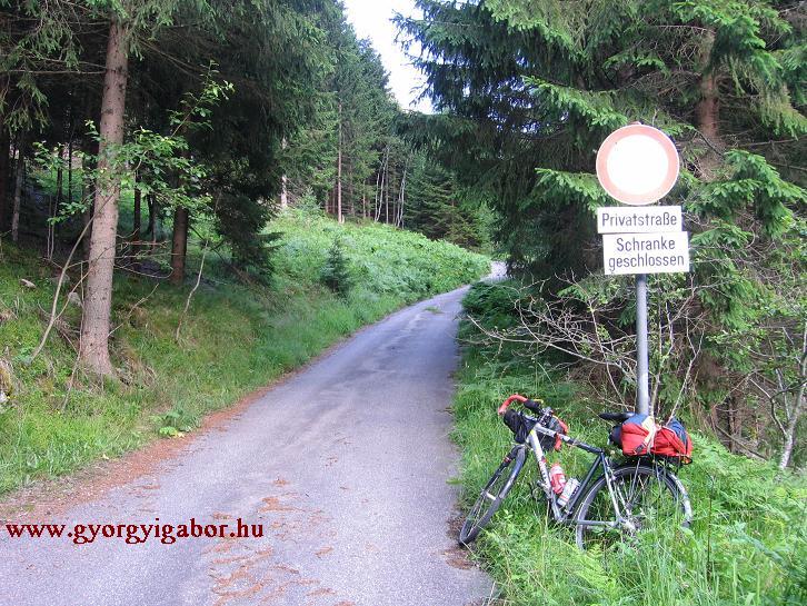
 1st day we arrived to the mountains int he afternoon. The climb of Weisssee (2365 m) started at a cablecar station; a small paved road went into the forest, but there was a "No entrance" table. The owner of the road is I think the water-power plant. The road was first climbing by 12-14% steepness, after 1-2 km there was a dark tunnel and I had no lights, but fortunatelly a lady with a car worked there and helped me (downwards I had to walk and see int he dark, but the truely dark section was only 50m long, after it I could see the end). In the first 4 km I had only few times views.
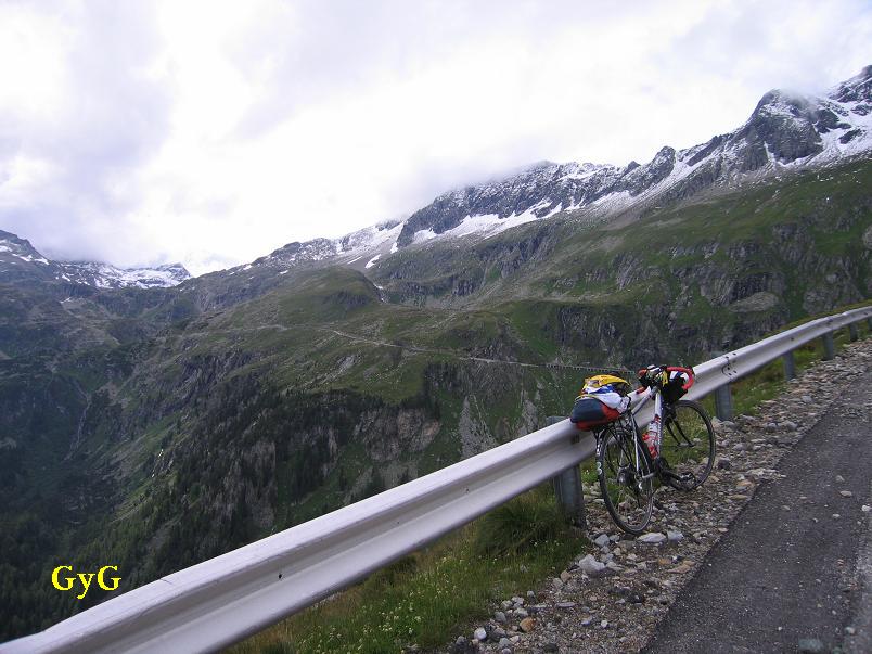 The views were to downwards to the parking place and valley. After 4 kms the road became flat and after a short tunnel I could see into the valley to north, to the snowy mountains. When I crossed a stream there was building operation there. The road climbed with 13-15% steepness ont he other (east) side of the valley and from km to km it left the forest. I met with cows too. After 4 kms again there was a short slope downwards and the next 4 kms were variable: down and up, and through galleries, on which stream run.
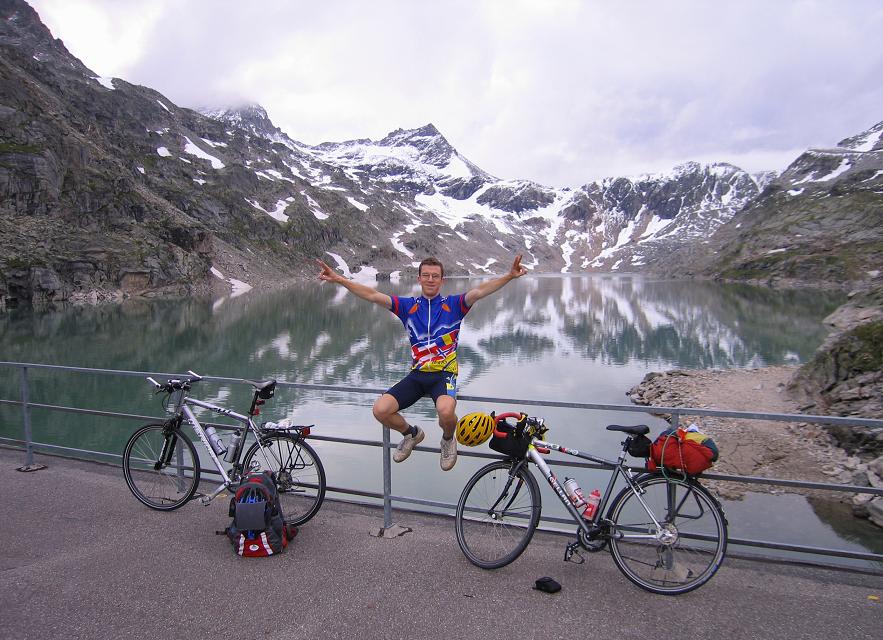
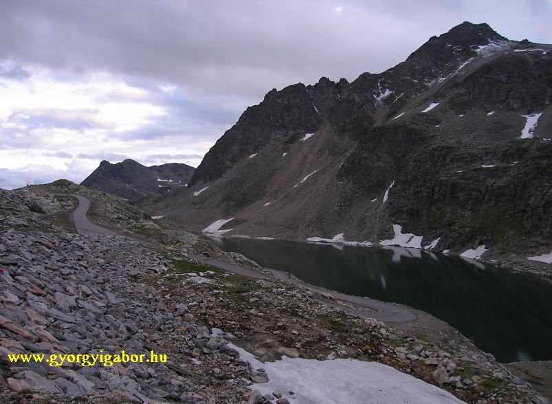
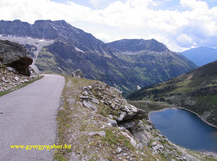
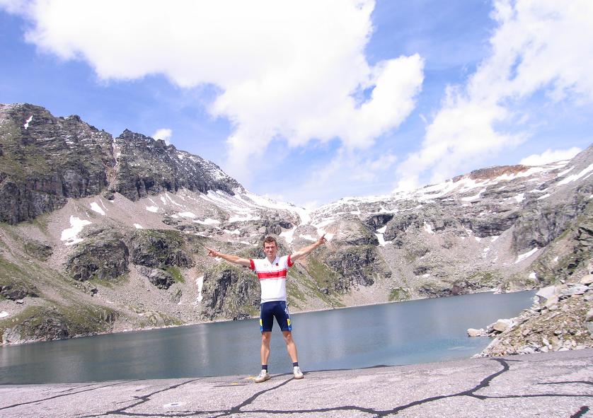
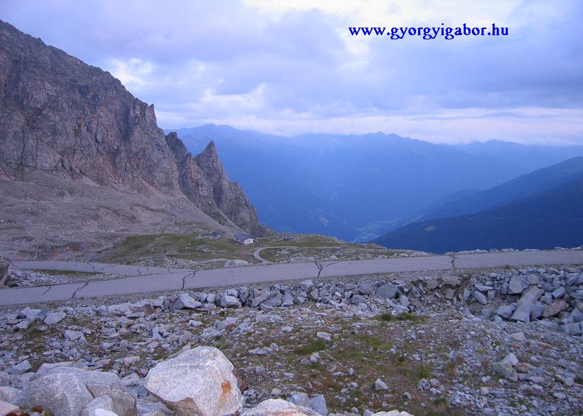
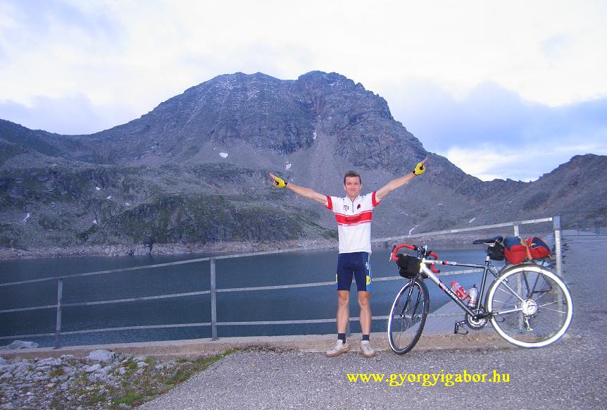
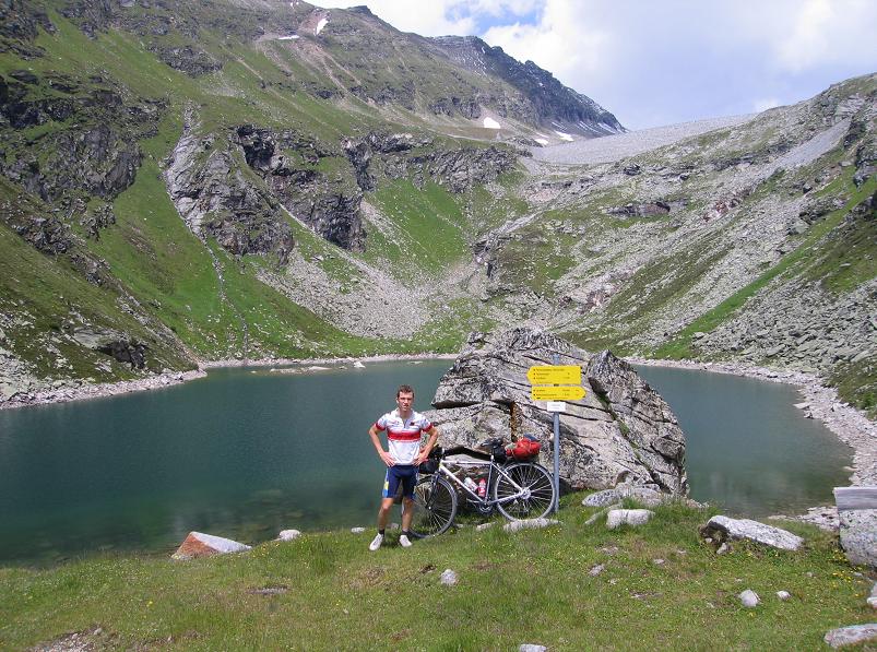
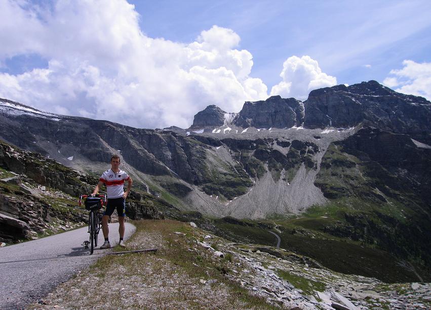
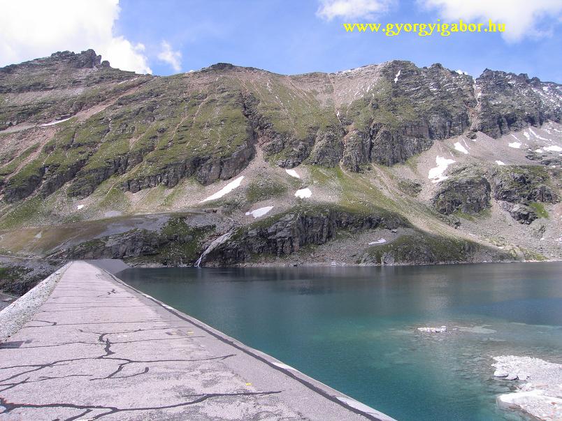
 In theis section there were 2 times (?) tables that cycling is prohibitted (why ?), but we went on cycling. After a short 14% steep section we arrived at a small lake (2205 m - Stübelsee), but the road climbed on. After 1,5 twisting kms with panorama to the mountains we arrived to a house and a parking place and helicopter landing place. Next to the road we found the Weisssee (2365 m), but after some photos we found that a road went straight along the lake and after a small climb it arrived onto a dam of the next lake. We cycled up: that was the Hochwurtenspeicher (2417 m).
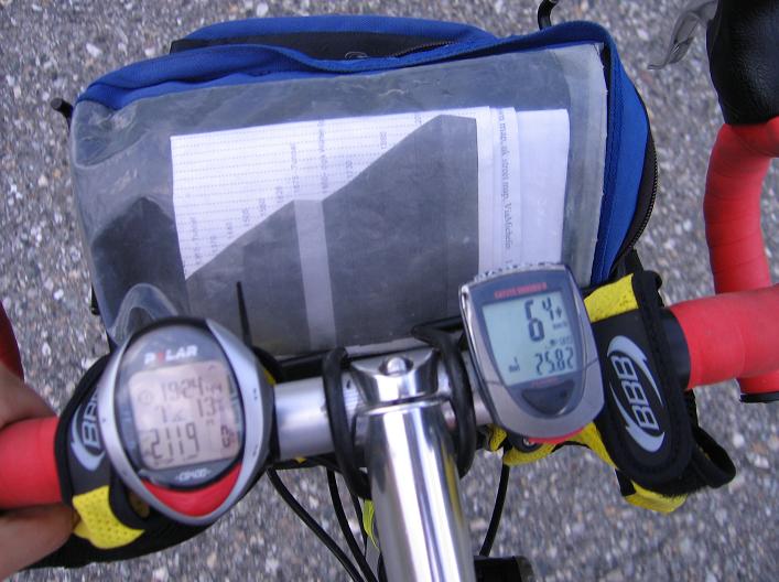
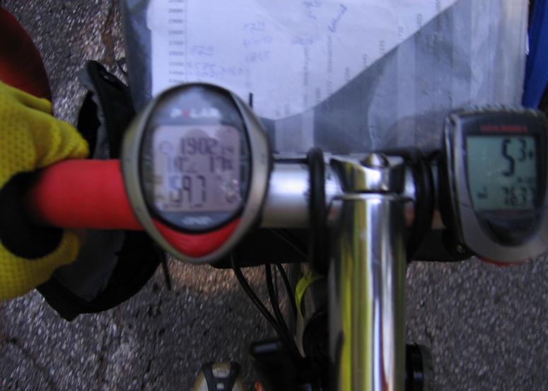
 Data upwards:
Ausserfragant, junction TM: 16:01 DST: 6,65
Hochwurtenspeicher (2417 m) TM: 2:53:17 DST: 28,81 AVS: 10,0
Heightdiff upwards to Hochwurtenspeicher:
- 51 + 1070 + 164 + 640 = 1925 m
- Kcal = 118 + 1179 kcal + 184 + 721 = 2202 kcal
- At the lake: 8 Celsius.
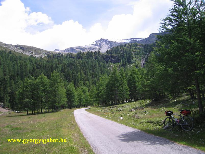
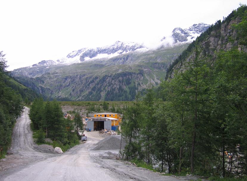
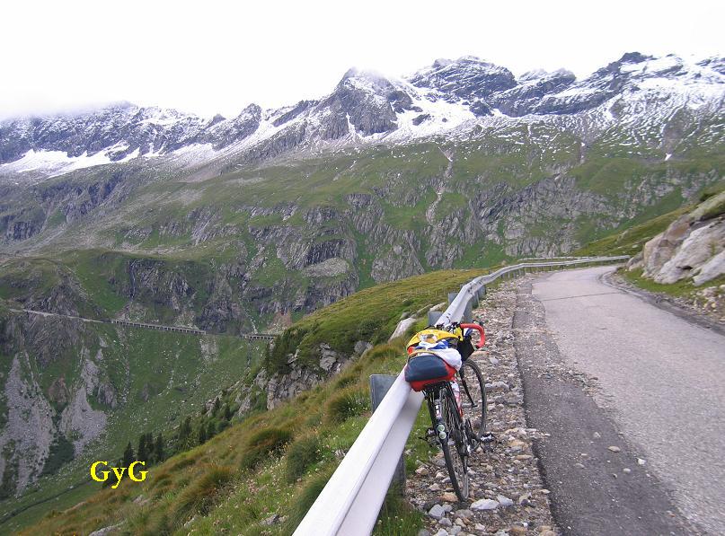
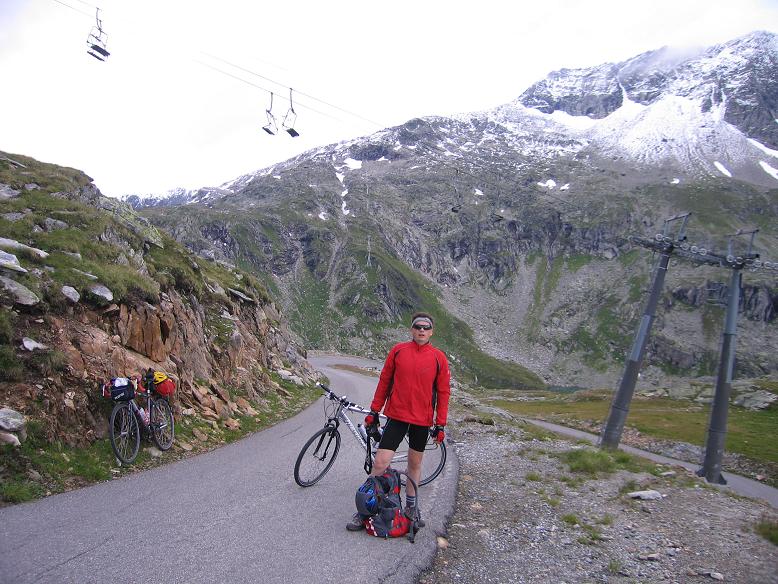
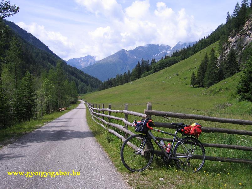
On our 2nd day we travelled by car to Döllach from where balazs cycled the south slope of Grossglockner road, while I climbed Zirknitztal / Grosssee (2380 m). The first kilometers followed on a hillside between leafy trees, flowers, grass and I met with houses too.
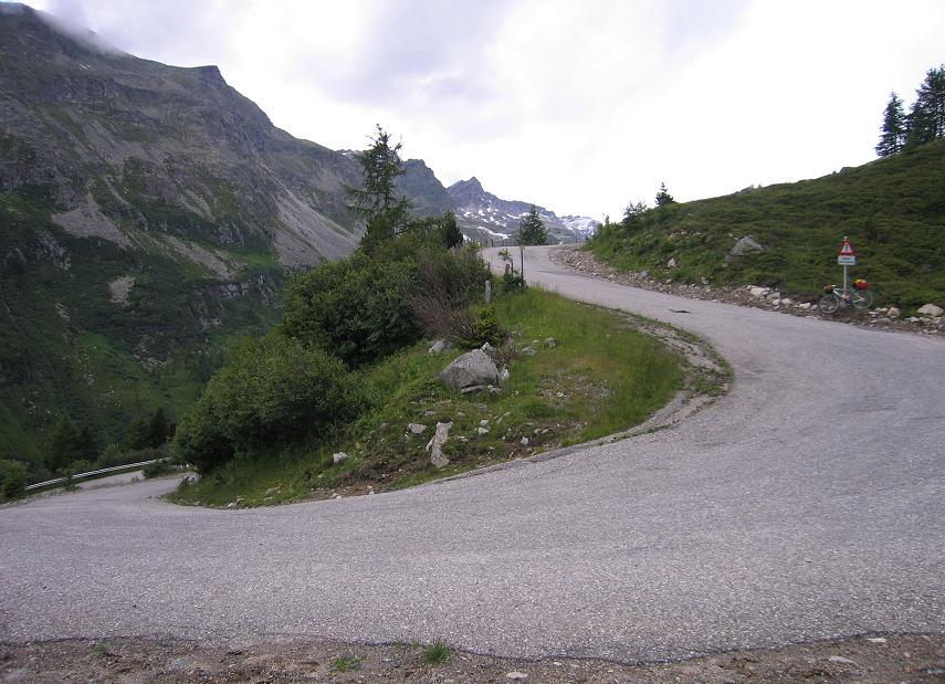
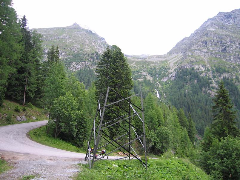
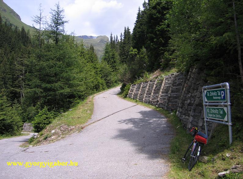
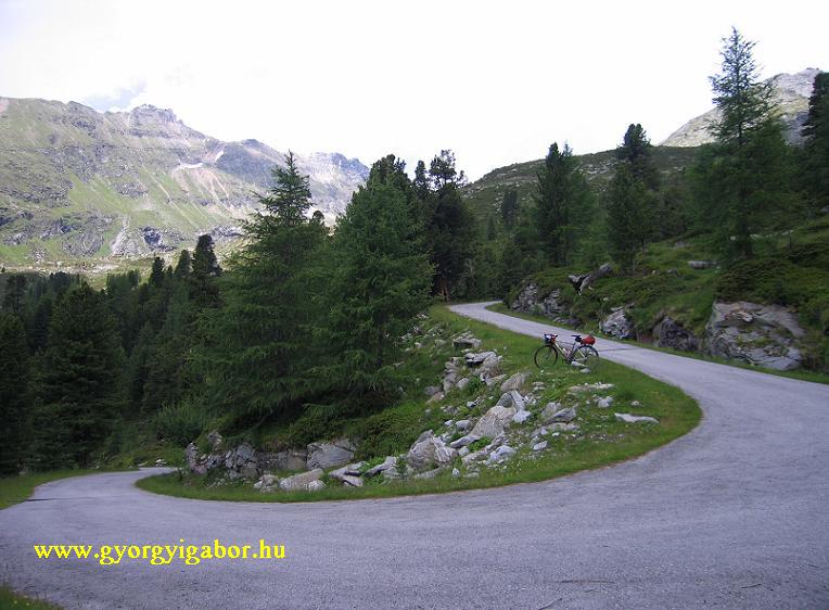
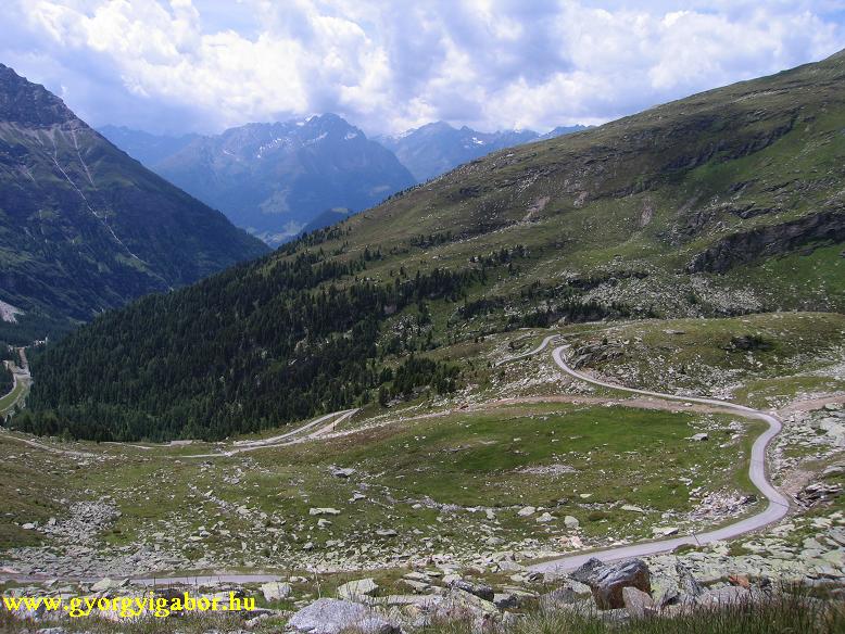
 After 5 km the road has a short slope down, than light climbed followed into fir trees and along a stream. On a steep section there is a junction (1645 m) (Gr and Kl Zirknitztal), I chose the left one, which wasn't good, because after 1 kms it ended, but there I found a map about the valley. At the junction there was a barrier (closed), but with my bike I went on. After 2 kms there was a meadow and a building and at ca. 1940 m again a nice meadow from where the road started to climb again steep (12%). The last 4,5 kms twisted on the grassy mountainside with fantastic panorama to mountains and onto the Kegelsee (lake). At the top there is a dam and the Grosssee and a fence on which I could't climb through with my bike, but only me. There is no table and house there, but the lake and the panorama is beautiful. I met only 1 cyclist on the whole climb.
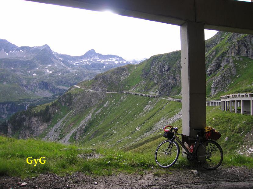
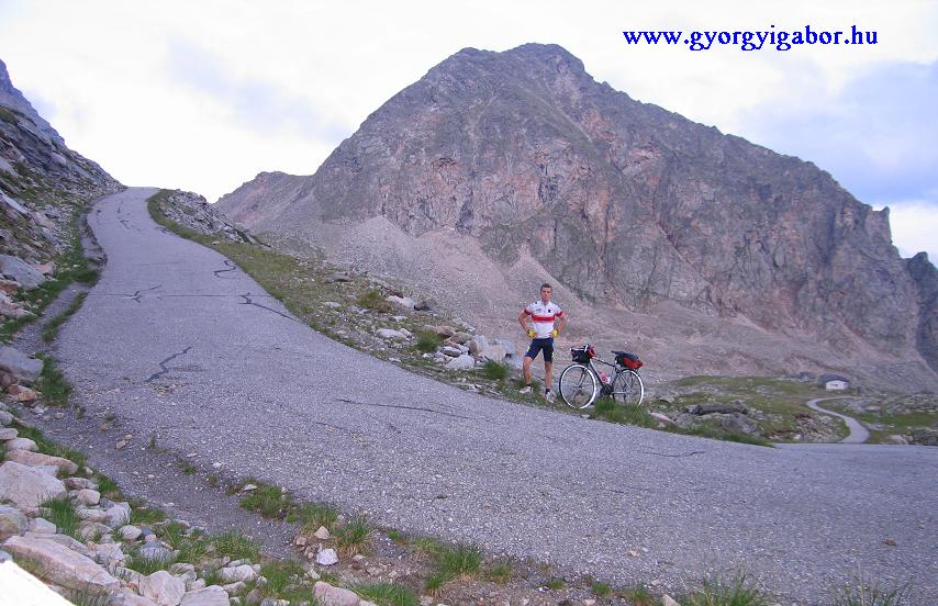
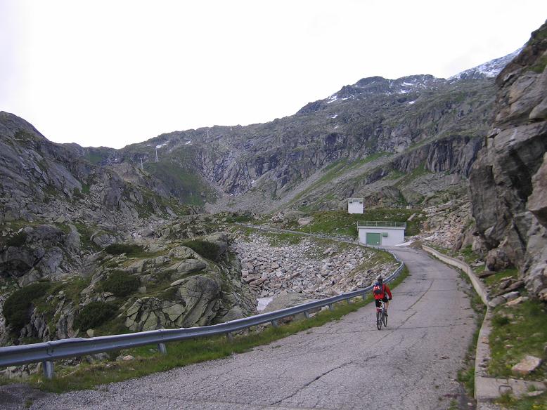
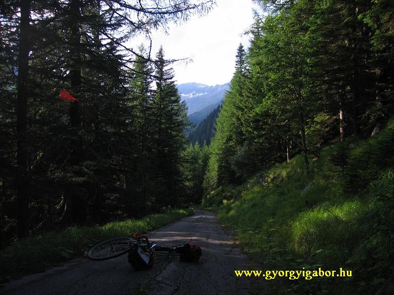
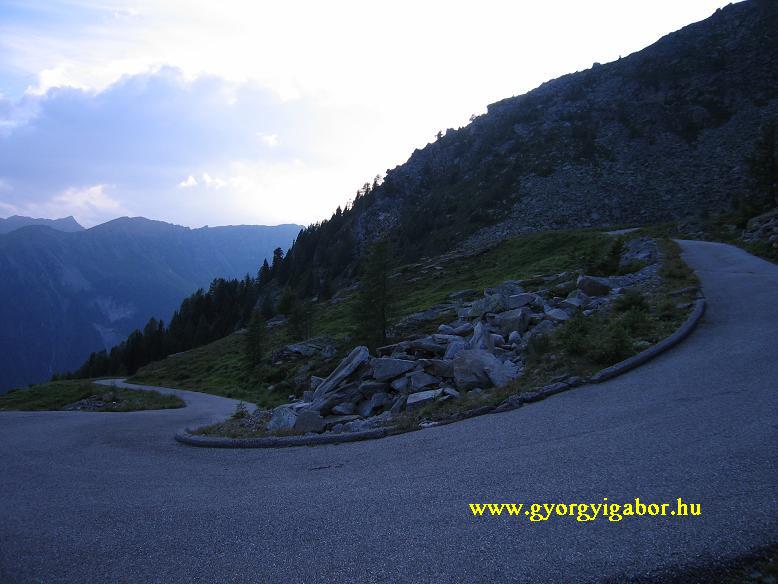
 I arrived to the junction (Ausserfragant) to the valley of Gr Osceniksee at quarter before 17 pm. I had not too much time for climbing from 722m above sea level to 2394 m, but I want it very much. First I had 3 kms with 10 - 14 and 8,6%. That was the warm up. After flat and light kilometers a km hard climb too and I arrived to the junction of a thin forestry road at 6:10 pm (1172 m). From there I had nearly 10kms with 1222 m heightdifference. Continuously gradients above 10%, but for few kms above 14%.
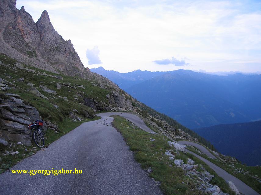
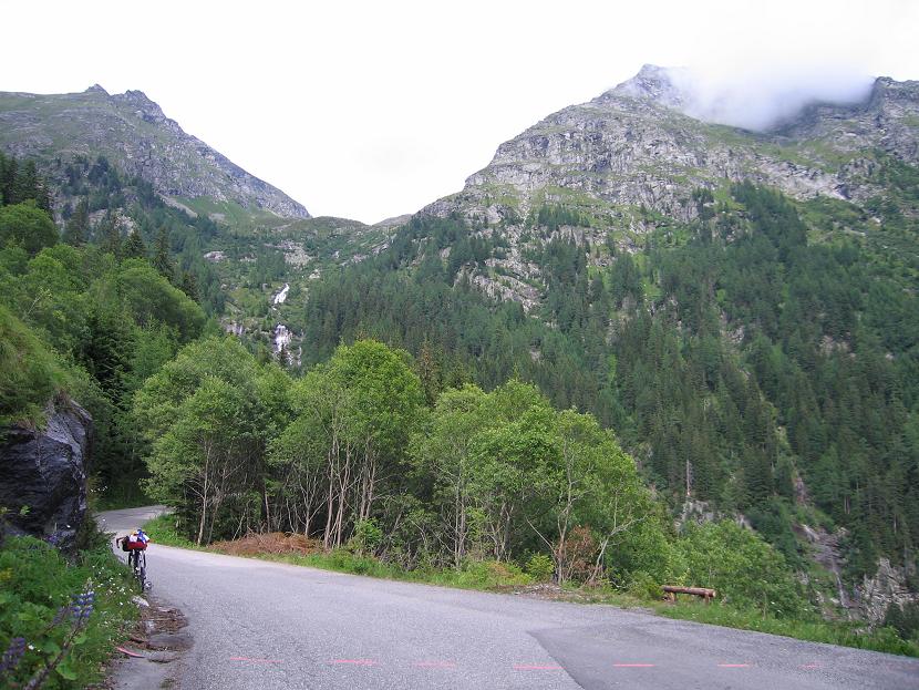
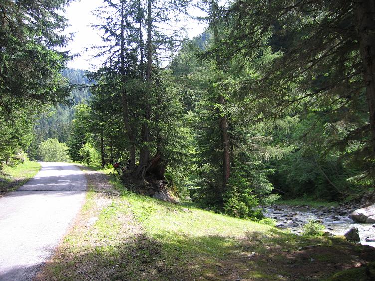
 The first 4 kms went in leafy forest without any view but with hairpins and my steepness-measurer showed 13-15%. My speed was 5,5-7 km/h by my 13kg (+ 3 kg things) touringbike. My lightest gears were 28*34. I make pictures and videofilm in almost every km, because I thought that it has to be shown to others. I succeeded to take video during pushing the pedals for a half minute. At ca. 1800m it became a little bit lighter: only 8%. After a little rest and eating cakes and banana I went on cycling up.
 Sometimes the trees were more rare, so more and more times Í had views down to the valley and to the opposite mountains. I was biking between fir trees. At ca. 2000m I saw a fawn. There were two wooden "things" onto the hunter climb to watch animals to shoot. After ca. 2000m I had to struggle; a little bit I felt the effect of the steep kilometers in the morning and afternoon. I often stand up from the saddle and cycled in that way.
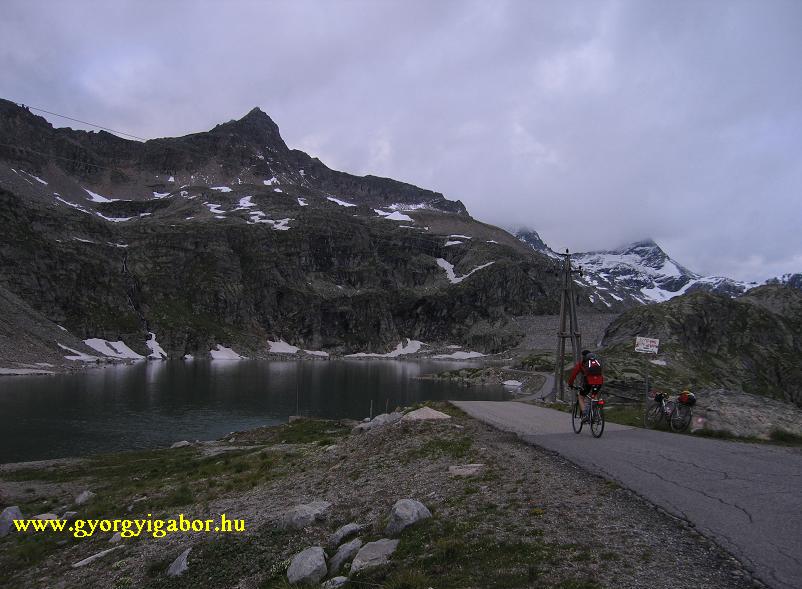
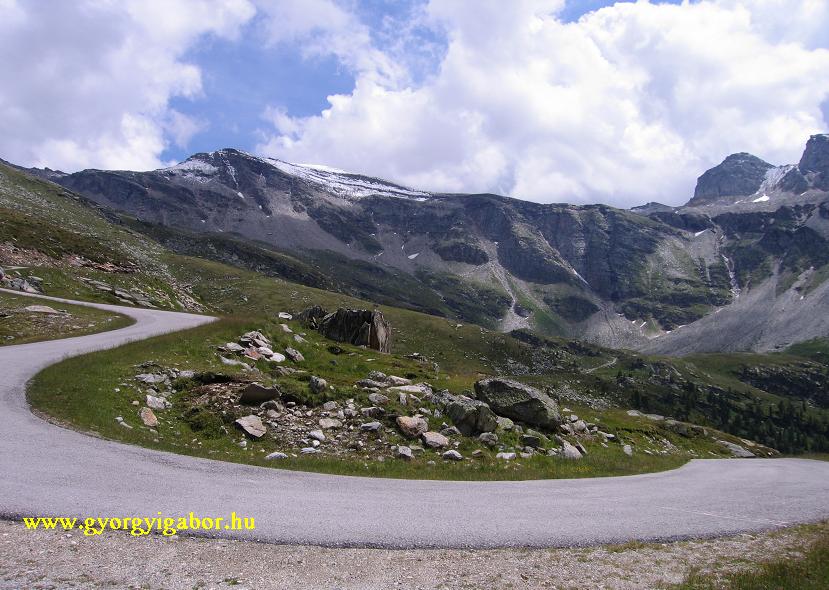
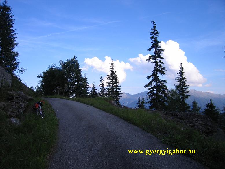
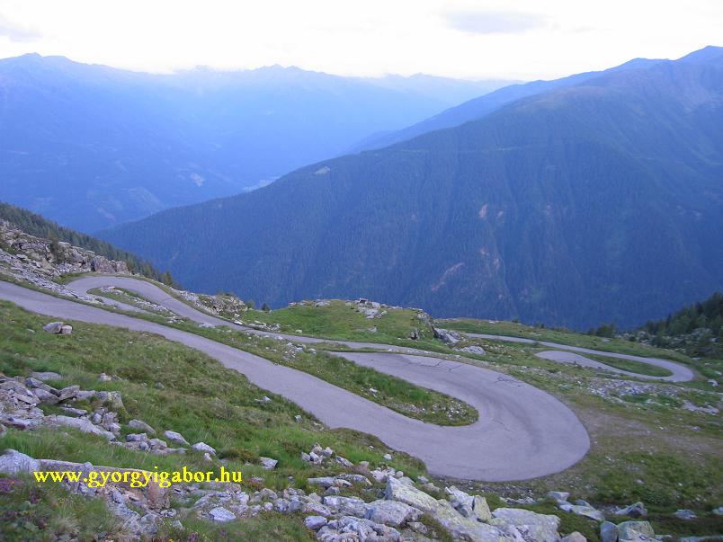
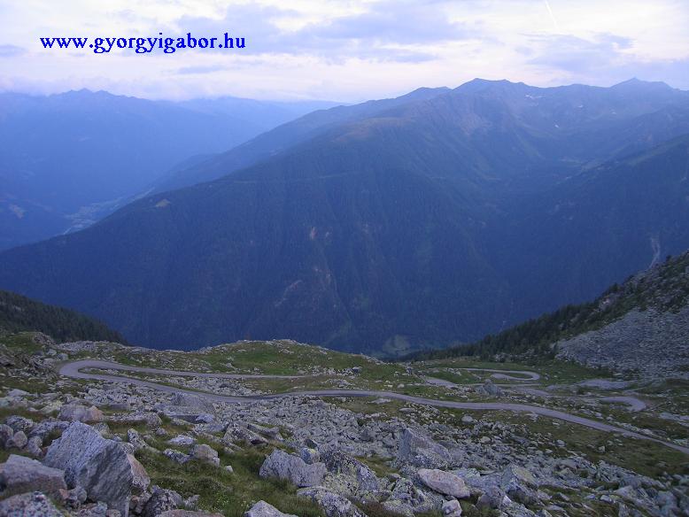
Above 2100-2200m there wasn't any trees, but the mountainside with grass and the lot of hairpinbends. The straight sections were only ca. 300m long and than a bend… I found it fantastic as I saw about 4-6 straight sections with hairpinbends behind me and down the valley. With the so much effort made it so memorable for me. At last I succeeded arriving the dam of the lake at 20:51, just before starting darking. That was one of my hardest day of cycling and for me that was the hardest climb in Europe so far.
 Data:
Data:
Gr / Kleine Zirknitztal junction (1645 m) 11:45 TM: 54:46 DST: 7,78 AVS: 8,4
Parking pl. (1710 m) TM: 1:01:07 DST: 8,52
JUnction again TM: 1:03:38 DST: 9,24 AVS: 8,6
Grosssee (2380 m ?) 14:10-24 TM: 2:05:58 DST: 16,13 AVS: 7,6
Döllach (15:05) TM: 2:39:59 DST: 30,75 AVS: 11,5
Ausserfragant (722 m) 16:45-17:11 TM: 4:05:25 DST: 65,75 AVS: 16,0
First hilltop (1015 m) 17:39 TM: 4:30:30 DST: 68,65 AVS:
Junction right Gr Oscheniksee (1172 m) 18:10 TM: 4:52:30 DST: 72,95 AVS: 14,9
 Gr Oscheniksee, dam (2394 m) 20:51 TM: 6:30:37 DST: 82,3 SAV: 5,55 AVS: 12,6
Down, rad int he valley 21:29 TM: 6:52:00 DST: 91,39 AVS: 13,3
Ausserfragant, main road TM: 7:06:56 DST: 98,48 AVS: 13,8
Appartment (Obervellach fölött) TM: 7:32:07 DST: 104,98 AVS: 13,9
TR/D: 106,29 MXS: 57,0 ODO: 109,304,5
Heightdiff. + calories max. avg pulse
Döllach - Grosssee (2417 m) 1463 m 1581 kcal 171 150
Slope down 207 kcal
To Ausserfragant (722 m) 170 m 819 kcal
After first 3 km, top (1015 m) 283 m 301 kcal 164 150 (79%)
Start of steep climb, junct. (1156 m) 206 m 249 kcal 159 141 (74%)
 To 1710 méter 554 m 579 kcal 177 155 (82%)
2394m, dam 611 m 692 kcal 170 154 (81%)
Slope to Ausserfragant 60 m 247 kcal
To house (without 2-3 km ) 140 m 203 kcal 157 138
3487 m 4878 kcal


GYÖRGYI GÁBOR
|
|